Hazard, KY to London, KY – 70.7 miles, 5293 ft
If Virginia was Big A mountains, then Kentucky is the fairy forest.
The mountain we climbed just a few days ago ->

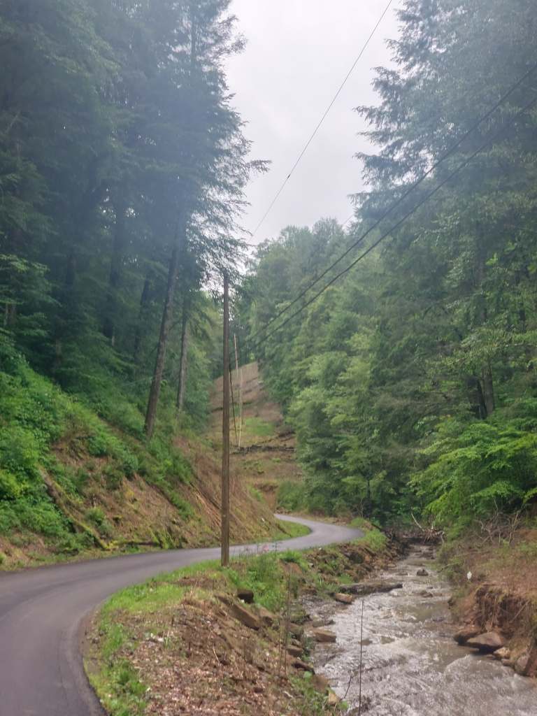
If you move away from the towns, gas stations and highways, you can take the much calmer single lane roads. The roads go up and down, turn from asphalt to gravel. They will take you into a deep, dark, mystical forest.


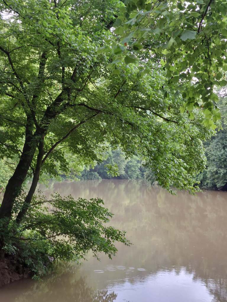
The forest is humid and warm. There is water vapour in the air. It mixes with the sweat on your skin and makes it shine. You can almost always hear some type of water around you – a stream gurgling down the slope or water dripping from the rock wall by the road. Every once in a while there is a waterfall. The river that flows through the forest is brown, almost sand coloured. You hear birds and see yellow butterflies and maybe even a deer or two. Everything is green. The leaves create a tunnel around you. Even the road is turning green. The moss and some crawling plants are slowly taking over the road.


These single lane roads weave together a couple of houses, little settlements almost. There always seems to be a stream or a river running by them. The people living here keep chickens and grow corn in their backyards. They are kind. They ride quadricycles, wear tattoos and keep (mostly caged) territorial dogs. The kids ride quadricycles too and the dogs really don’t like cyclists.
If you go through the fairy forest, expect to get some rain, if not from the skies, then from the trees above you. But it is a calm and weirdly soothing place.
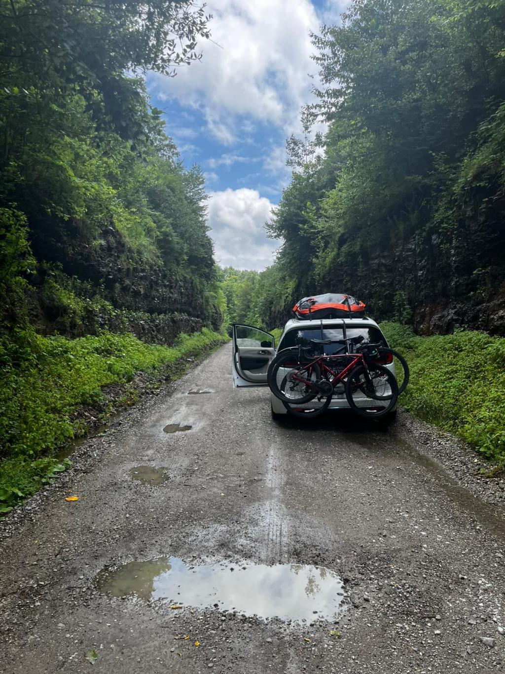
We were going through the fairy forest, when we stopped by a little church, and that is when the plot thickened.

So, the situation. Our plan was this.
The church rest stop on top right (a tree with a table), then a dashed (meaning gravel) road (with hills), named aptly Confluence-Shoal-Sizerock Rd to Sizerock.
However, once I made it up a very steep ascent to the Spring Rd crossing (see blue X), I was faced with two roads in the right direction.
Luckily, there people hanging out by some pickup trucks and quadricycles there. I asked them, which road could lead us to Sizerock.
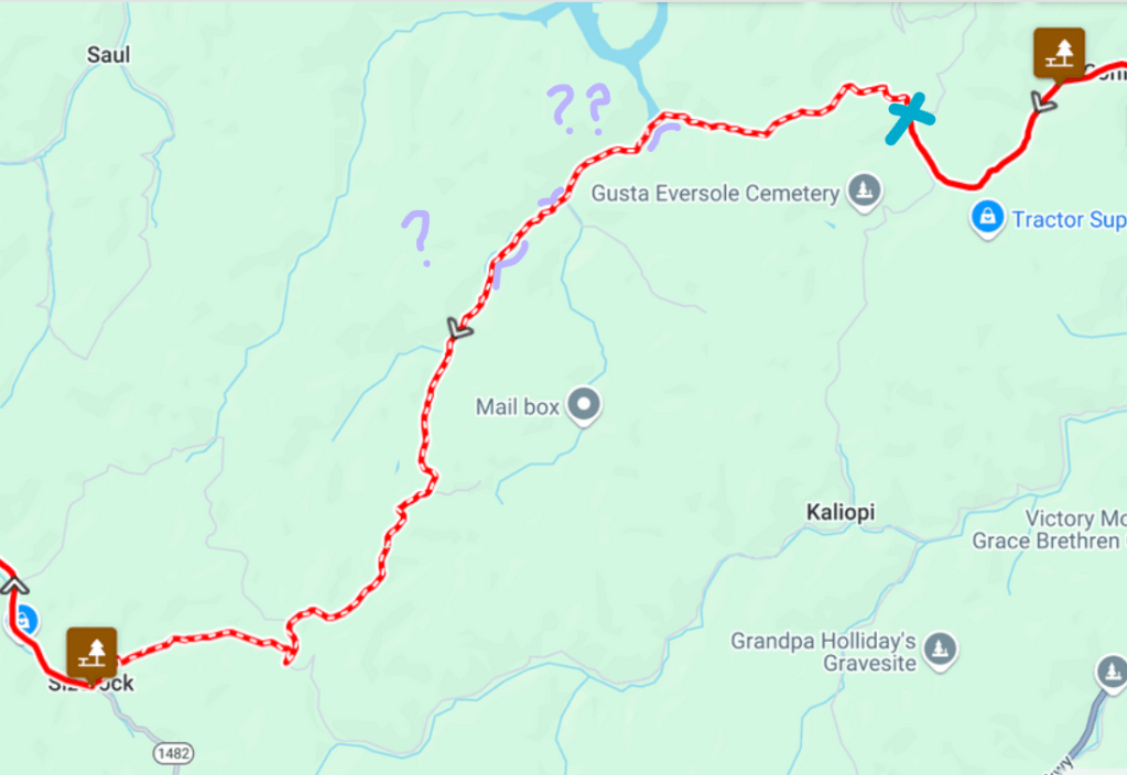
And, while they seemed unsure about how to get to Sizerock, they did know that one of the roads was a dead end and the other one, which they had taken themselves, was flooded. Now, this was not good news. I could not figure out exactly what had flooded, but it was probably something in the area in the map marked with purple blobs and question marks. The water that had been all around the road in the morning, was now taking over the road. After some more talking, they advised we take the Hell for Certain Rd to get to Sizerock.
I debated just going for it and maybe walking through the floods, but my wiser self won and I decided to trust their judgement on whether I would pass the floods or not.
Equipped with this knowledge, I returned to our little church and we did a reroute (pictured right).
We were lucky there were easy reroute options. We swapped one gravel road for another (it was indeed named Hell for Certain Rd). And it is a good thing we did.
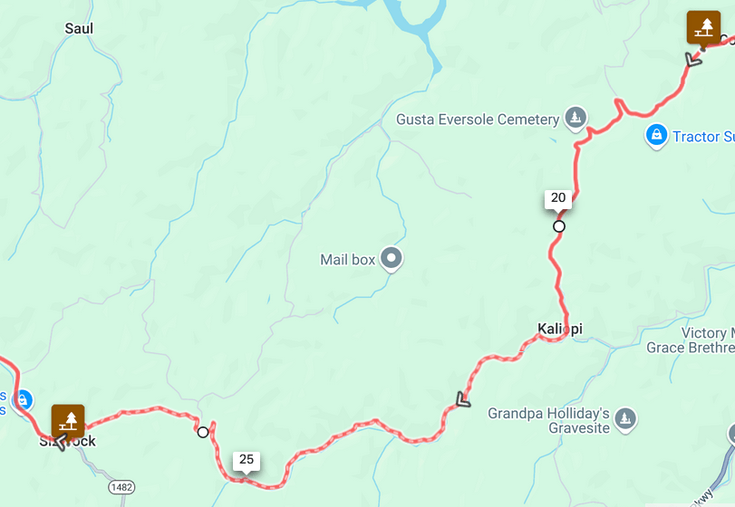

There were no floods on this road, but even without that, it was not easy. Not for the cyclists nor the car. Some took advantage of shuttling in the (fully packed) van, but we were lucky Joseph had the car in good hands. Ups and downs and sharp turns, and puddles and potholes, but we made it to Sizerock, also called Hell for Certain.
And, with the arrival at Hell for Certain, we had made it out of the forest.
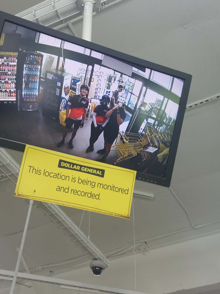
We ate lunch, Charles climbed a tractor, we biked some more, did a fun stop at Dollar General.


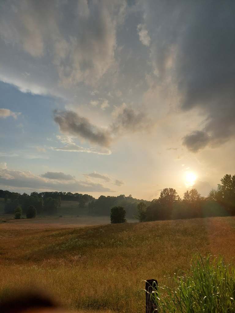
Then we got thunderstormed on and arrived at our home for the night during golden hour.


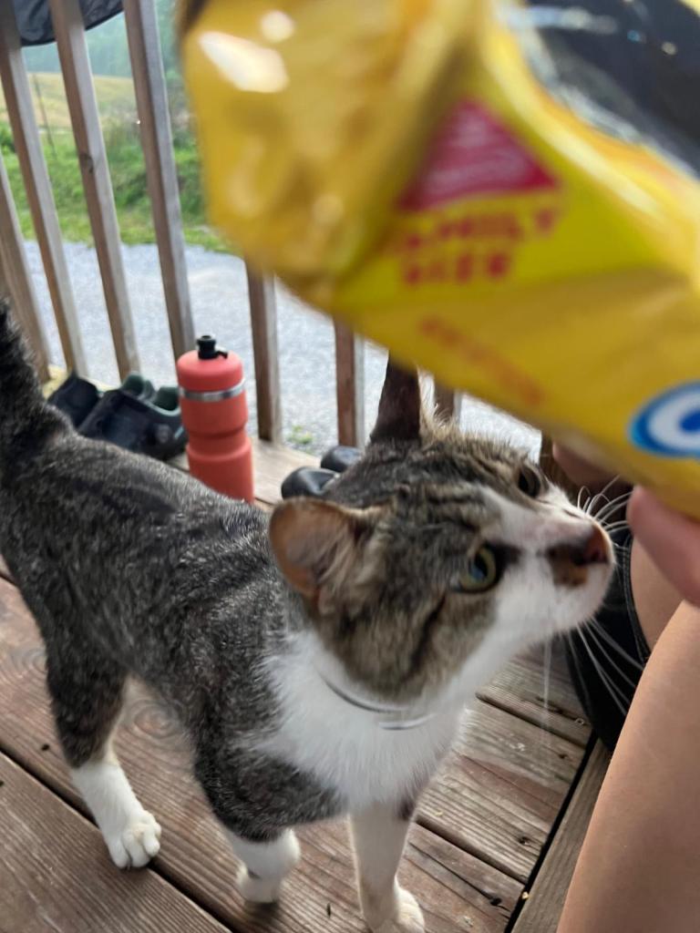
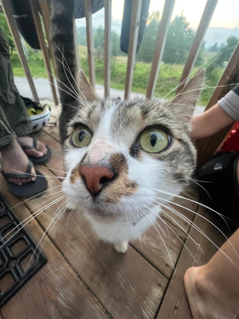
There we were greeted by a very friendly cat 🙂

And that is it! Thanks for reading and I promise we are trying to get back on schedule for the blogs!

Leave a reply to John David Hagood Cancel reply